7 reasons Why the Global sea level is rising

Sea level is rising in most parts of the world. We can see it in decreasing beach sizes or more frequent coastal flooding. Many countries like Bangladesh are losing their crop species as seawater contaminates the ground. In other nations like Tuvalu, sea-level rise is threatening the existence of coastal communities.
What is at stake with sea-level rise?
But, as a matter of fact, the sea rose and fell a number of times throughout the history of the Earth. It was mainly due to natural processes like climatic warming and tectonic movement.
When it happened in the past, there wasn’t so much at stake as there is now. Currently, approximately 2.4 billion people live within 100 km of the coast. The major cities of the world like New York, London and Shanghai are themselves right on the coast. And these cities are heavily urbanised with expensive infrastructure and amenities.
If we consider islands, again, all the settlements and economic centres are on the coast. Islands are generally small so people have limited places to move to.
Sea-level science is complex
Yet, sea-level science is quite complex. To understand this process, we require huge amounts of data on oceanic processes and observed sea-level changes.
Fortunately today, technological advances like satellites and Argo floats permit us to capture a large variety of data.
Though we still need more information to fully understand sea-level changes, there are basically 7 reasons why the sea level rises.
Reasons that cause the sea level to rise
1. Warming of the oceans increases the sea level
One of the most important reasons why the sea level is rising today is because our oceans are warming up. Researchers believe that global warming is the main reason behind this.
So, when water molecules absorb heat, they expand in size (thermal expansion). Eventually, they cause the oceans themselves to become bigger and the sea level increases.
Normally, when the volume of water increases, the density decreases. We observe this phenomenon in regions of high temperature and/or pressure.
But over time, this chemistry shift can disrupt the thermohaline circulation and affect oxygen and nutrient transport in the sea.
2. Melting of ice sheets adds water to oceans
The melting of ice sheets is also playing a critical role in today’s sea-level rise. Which again we can link to global warming.
An ice sheet is basically a huge mass of glacial land ice that covers an area of over 50,000 km2. So, when it melts, it releases water. In the past, ice sheets covered a large portion of the northern hemisphere. Today, however, only the Greenland Ice Sheet and the Antarctic Ice Sheet remain. Yet, a complete meltdown of the Greenland Ice Sheet alone would cause the sea to rise by 7.2 m!
So, right now, scientists are studying our ice sheets scrupulously. They estimate that the melting of ice has been contributing to 0.35 mm of sea-level rise every year.
3. Melting of glaciers and Ice caps
Glaciers and ice caps are ice masses less than 50, 000 km2 in size. Glaciers are basically the ice chunks we see floating in the sea and ice caps are atop mountains. As the temperature rises, small glaciers and ice caps are also melting. According to researchers, glacier loss has increased from 0.77 mm to 1.4 mm per year since the year 2000.
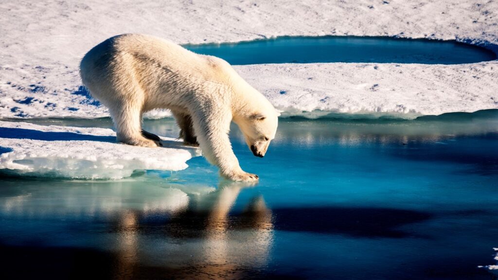
Melting of these ice chunks both in the sea and on the land can have drastic consequences. Marine animals like polar bears and seals that depend on them for hunting will lose their hunting grounds. Likewise, as mountain ice caps melt like those on the Himalayas, they will flood settlements downstream.

4. Extracting groundwater increases the sea level
As it is, we heavily extract groundwater all over the world which is in the range of 982 km3 per year. We generally use it for drinking and cooking and the water finds its way into the sea when we are done.
Interestingly, studies show that this flow of water also contributes to sea-level rise. In fact, it accounted for 13% of the 3.1mm rise during the period 2000 to 2008 [3].
5. Heavy use of stored water
Conversely to groundwater withdrawal, when we store water in reservoirs, we prevent its flow to the sea. Right now, we have some 8000 km3 of water in reservoirs. We constructed most reservoirs after the 1950s which coincides with a sea-level drop of 30 mm during that period [4].
Today, however, factors like deforestation and the loss of wetlands, have led to an increased flow of water into the oceans. In regions such as Lake Urmia and the Aral Sea, heavy use of water for agricultural practices has significantly decreased the water level in reservoirs. At the same time, the sea level has also increased.

6. Meridional Overturning Circulation and Sea Surface Height
The Meridional Overturning Circulation (MOC) is a system of circulation between the surface and deep ocean water. It allows the exchange of materials like nutrients, oxygen between the surface and deep water layers. The MOC is in fact a very important component of the climate system. It generally influences sea surface height (SSH) based on temperature and salinity content in various regions around the globe.
For example, sea dynamics is lower in the North Atlantic region because of deep water circulation as compared to the North Pacific region. Studies reveal that the sea level has changed in North Atlantic since the mid-19th century. Researchers attribute it to changes in sea surface temperature and the strength of the MOC. When the MOC weakens, the sea level increases.
7. Long term land uplift can increase the sea level
Land uplift is the elevation of the Earth’s crust due to the movement of tectonic plates. So, when tectonic plates heave up, they inevitably raise the sea level.
This process is nonetheless quite slow and occurs over large time scales. For example, researchers found out that the land near the Florida shorelines has been rising at a rate of 0.02 to 0.05 mm per year over the last 1.6 Ma.
Present day sea level rise
The IPCC reports that over the next few decades, it is very likely that 95% of the world’s ocean will rise. Right now, the main reasons why the global sea level is rising is basically because of thermal expansion and glaciers are melting. And we attribute them mainly to global warming.
At the same time, other factors also influence regional sea level rise. It can be due to excessive water use or natural processes like land uplift.
All in all, sea-level rise is not because of one particular reason. It is rather the workings of different factors at different places. Hence, the local sea-level rise at a particular place will likely be different from global and regional sea-level rise.
References:
- Cronin, T.M. (2012). Rapid sea level rise. Quaternary Science Reviews, 56, pp. 11-30.
- Konikow, L. F. (2011). Contribution of global groundwater depletion since 1900 to sea-level rise. Geophys. Res. Lett., 38, L17401.
- Wada, Y., Reager, J.T., Chao, B.F. et al. (2017). Surv Geophys, 38: 131.
- Bingham, R.J., Hughes, C.W. (2009). Signature of the Atlantic meridional overturning circulation in sea level along the east coast of North America. Geophysical Research Letters, 36.

Pingback: Flooding Explained: Types, Causes and Examples - Yo Nature
Pingback: Earthquakes Explained: Types, Causes and Examples - Yo Nature
Pingback: How Mauritius, a Small Island Developing State, is adapting to sea level rise - Yo Nature
Pingback: Sea level rise Mauritius: Relocation as a prospective solution - Yo Nature
Pingback: Negative effects of sea-level rise - Yo Nature
Pingback: Positive effects of sea-level rise - Yo Nature
Pingback: Climate change: Natural and Anthropogenic causes - Yo Nature
Pingback: How Mauritius, a Small Island Developing State, is adapting to sea level rise
Pingback: Underwater waterfall of Mauritius - Yo Nature
Pingback: The negative impacts of humans on the environment - Yo Nature
Pingback: What is global warming? - Yo Nature